Precision 3D Grading & Site Layout Excellence
About Summit Precision
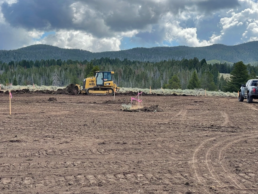
Summit Precision Earthworks bridges the gap between survey data and field execution. We combine 3D modeling, GPS machine control, and real-world grading experience to deliver site work that is faster, cleaner, and built to spec the first time.
Unlike traditional contractors, our work is driven by accurate site data—not guesswork. By leveraging survey-grade modeling, GPS-guided equipment, and field verification, we reduce rework, improve efficiency, and keep projects on schedule.
We provide precision grading, site preparation, equipment and operator services, and model-based construction support. Whether supporting a contractor’s crew or delivering full-scope execution, Summit Precision focuses on one outcome—getting the job done right the first time.
Our Services
3D Grading & Site Layout
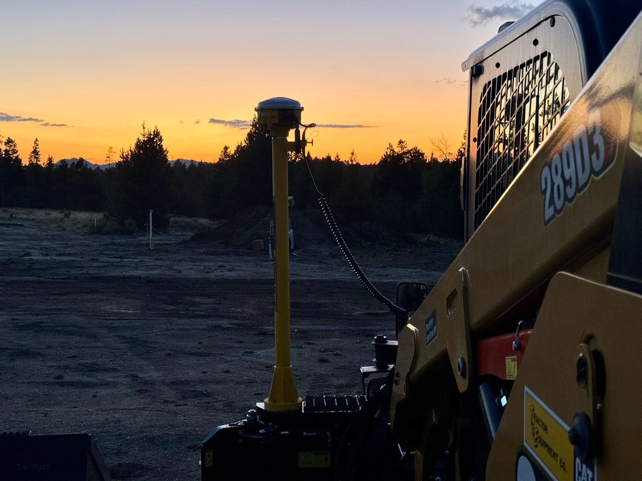
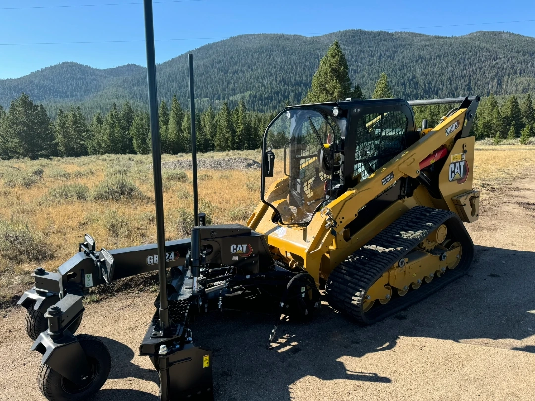
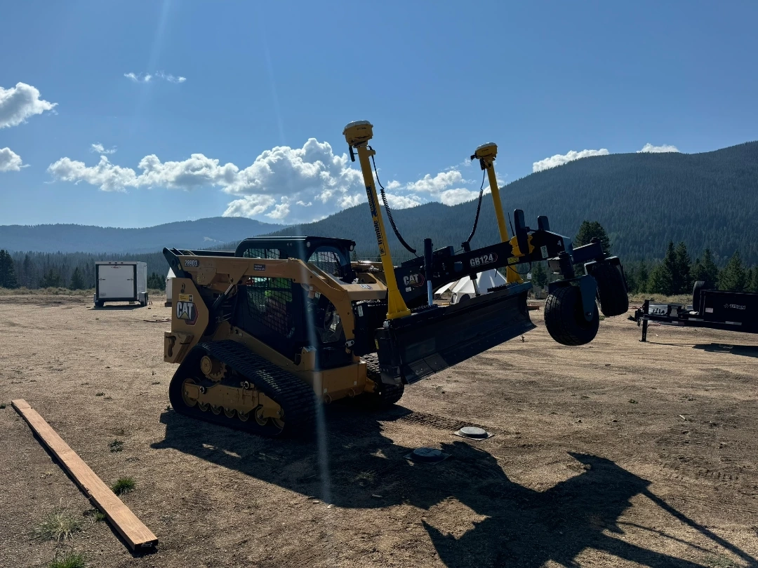
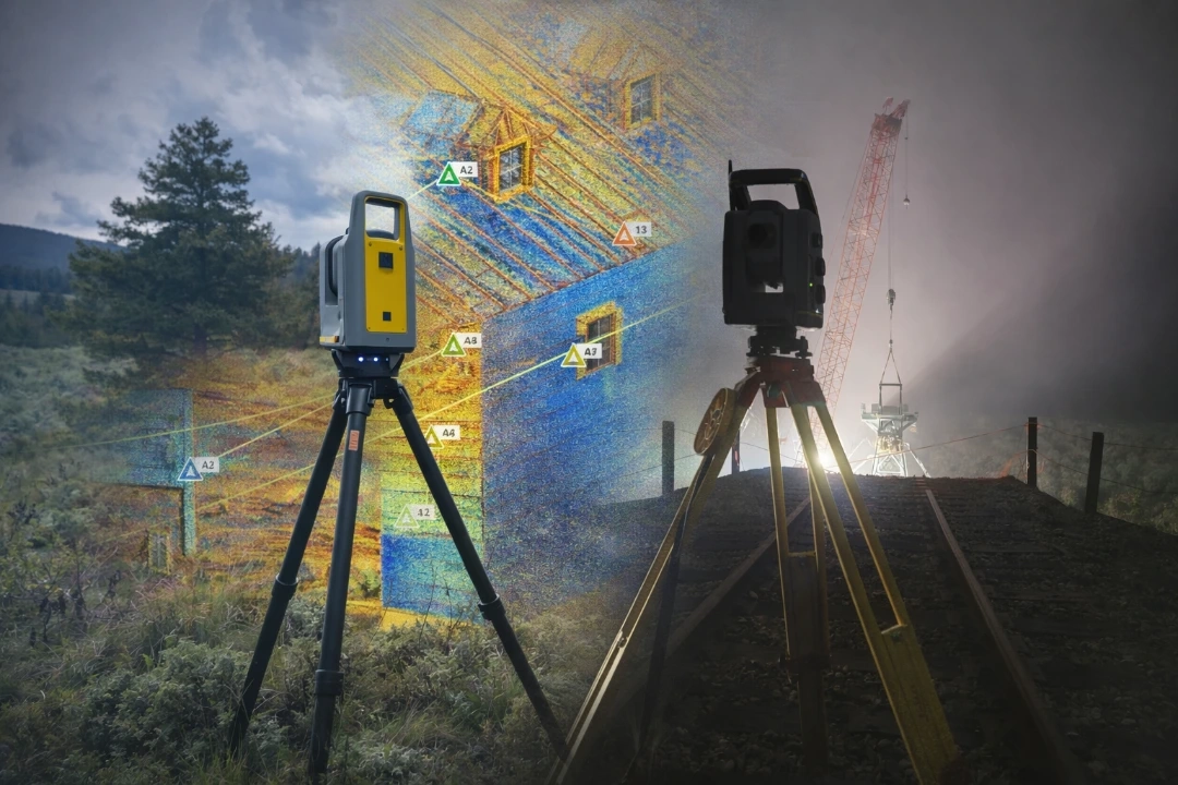
Advanced precision grading and site layout services utilizing GPS, LIDAR, and UAV technology to ensure accurate site preparation and optimal project execution.
Equipment Rentals
Flexible equipment rental options with or without expert operators. Access state-of-the-art grading and surveying equipment to meet your project specifications and timeline.
Construction Staking & GIS Management
Comprehensive construction staking and GIS-based construction management services to maintain accuracy throughout your project and streamline site coordination.